Electronic City Distance and Direction

Electronic City is a major tech and residential hub in South Bangalore. Whether you're commuting to work, visiting friends, or sending a courier, it helps to know both how far and in which direction Electronic City lies from key locations in Bangalore. This guide covers distances, driving times, and compass directions to five important spots: MG Road, Silk Board Junction, KR Market, Kempegowda International Airport, and Hebbal.
1. MG Road to Electronic City
- Distance: Approximately 18 km by road
- Driving Time: About 23 minutes (by car in moderate traffic)
- Direction: South-southeast along Hosur Road
Details:
MG Road is the heart of central Bangalore. To reach Electronic City, you head south on Hosur Road (NH 44). You'll pass Silk Board Junction, then continue past Koramangala and HSR Layout before arriving at the Konappana Agrahara entry gate of Electronic City.
2. Silk Board Junction to Electronic City
- Distance: Around 9 km by road
- Driving Time: Roughly 10–12 minutes by car; 12 minutes by bus
- Direction: Southwest along Hosur Road
Details:
Silk Board is a major interchange connecting the Outer Ring Road and Hosur Road. From there, Electronic City lies about 9 km to the southwest. You travel past Bommanahalli, Singasandra, and Hosa Road to reach either the Infosys Gate or Wipro Gate entrances.
3. KR Market to Electronic City
- Distance: Approximately 18 km by road
- Driving Time: About 56–58 minutes by bus; 18 minutes by taxi
- Direction: South-southeast via Silk Board
Details:
KR Market (also called City Market) is in central Bangalore. To reach Electronic City, buses typically go via Silk Board Junction and then continue on Hosur Road. The fastest taxi ride (with light traffic) can be under 20 minutes, while public buses take close to an hour due to stops along the way.
4. Kempegowda International Airport to Electronic City
- Distance: About 50.7 km by road
- Driving Time: Around 50–51 minutes by car
- Direction: South along NH 44
Details:
The airport (BLR) sits north of the city. A straight drive down NH 44 and Bannerghatta Road leads you all the way to Electronic City. Several direct BMTC "Vayu Vajra" AC buses also ply this route every three hours, taking about 2 hours by bus (including a transfer at Shanthinagara).
5. Hebbal to Electronic City
- Distance: Approximately 35–40 km by road
- Driving Time: About 1–1.5 hours (depending on traffic)
- Direction: South-southwest, via Outer Ring Road and Hosur Road
Hebbal lies in North Bangalore near the airport. To get to Electronic City, you usually take the Outer Ring Road (ORR) south to Silk Board, then
| From | To Electronic City | Distance | Drive Time | Direction |
| MG Road | Electronic City | 18 km | 23 min | S-SE on NH 44 |
| Silk Board Junction | Electronic City | 9 km | 10–12 min (car) | SW on Hosur Rd |
| KR Market | Electronic City | 18 km | 56–58 min (bus) | S-SE via Silk Board |
| Kempegowda Intl. Airport | Electronic City | 50.7 km | 50–51 min (car) | S on NH 44 |
| Hebbal | Electronic City | 35–40 km | 1–1.5 hr | S-SW via ORR & Hosur Rd |
How to Measure & Verify on a Map
- Use Google Maps: Enter the start and end points to see live distances and travel times.
- Check Coordinates: Electronic City Phase 1 center sits at 12.8355° N, 77.6699° E.
- Download Offline Maps: Handy if mobile data is spotty—go to Menu → Offline maps → Custom area.
- Compass Directions: Most map apps show a small compass icon—use it to orient "North" before measuring direction.
FAQs
Q: Are these road distances exact?
A: Distances can vary by a few hundred meters depending on the exact start and end gates in Electronic City.
Q: Can travel times be shorter?
A: Yes—light traffic can cut a car ride from MG Road to Electronic City to under 20 minutes, while peak traffic can double it.
Q: Which route is best from the airport?
A: NH 44 straight to Hosur Road is fastest by car; for a budget option, take the Vayu Vajra bus ℅ BMTC.
Q: How do I share my live location?
A: In Google Maps, tap the blue dot (your location) → Share your location, and choose how long to share.
With this guide, you now know both how far and which way Electronic City lies from key Bangalore landmarks. Keep the distances and directions handy on your phone so you can plan every commute and delivery with confidence!
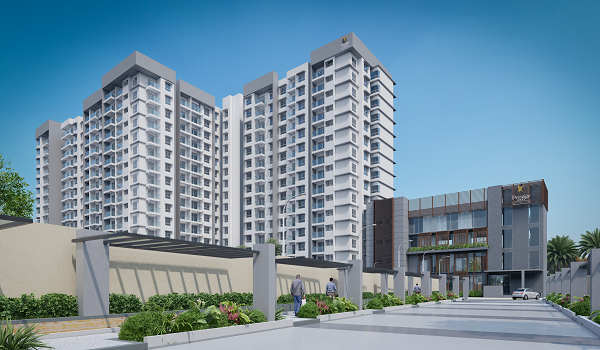
Prestage Group pre launch new projecct is Prestige Suncrest
| Enquiry |
